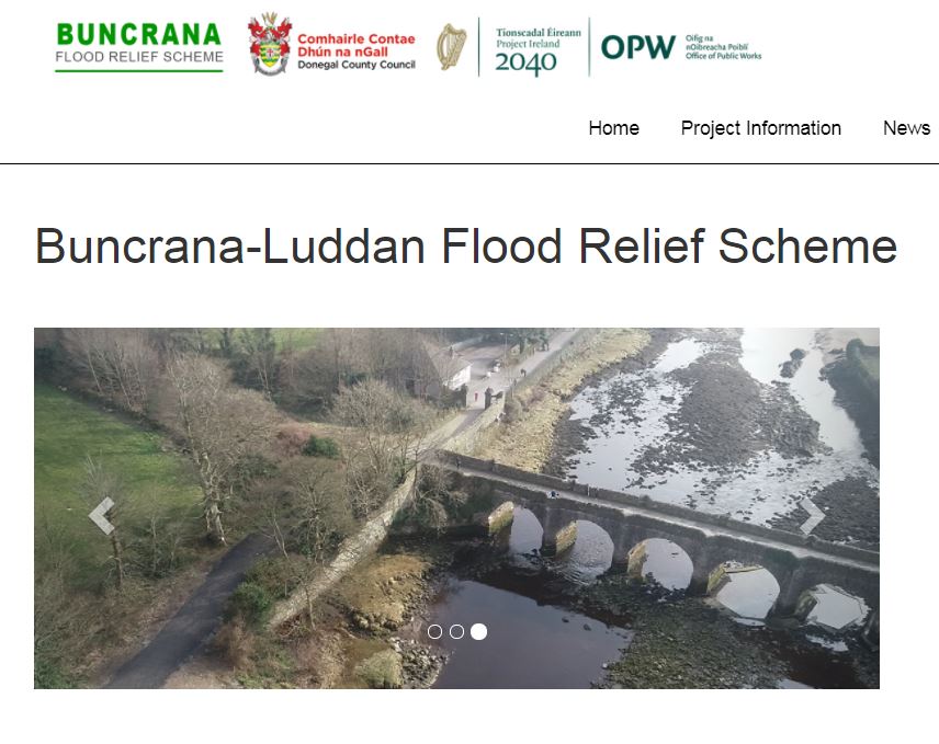
A detailed assessment of flood risk in Buncrana is progressing, with surveys of watercourses, adjacent lands and property thresholds of residential and commercial premises now taking place.
Donegal County Council says this will help them build an up to date computer model of the Scheme Area that will help them simulate flow scenarios in detail to define flood extent and depth.
From tomorrow until the end of October, surveys will take place at the River Crana, Mill River, Buncrana River, Ballymacarry and Luddan, while at the same time, a Land and Property Threshold Survey will take place in Buncrana, Ballymagan, Ballymacarry, Balamacarry Lower, Cockhill, Lisfannon and Luddan.
Murphy Geospatial is carrying out the surveys, and Donegal County Council says it has obtained necessary health, safety and bio-security statements from the surveyors demonstrating their protocols and procedures, particularly in relation to Covid 19. All surveyors will carry identification badges.
You can find out more about the project on the website Buncrana FRS – Home (floodinfo.ie)
Should you have any queries please contact the Flood Relief Schemes Unit in Donegal County Council through the contact centre on 074 9153900 or email floodreliefschemes@
************************
Statement in full
Buncrana Flood Relief Scheme – Survey Works
Donegal County Council and the Office of Public Works are progressing Buncrana Flood Relief Scheme. A detailed assessment of flood risk in the town based on present day and future scenarios is being undertaken. Topographical surveys of watercourses, adjacent lands and property thresholds of residential and commercial premises are now required. These works will capture the data needed to build an up to date computer model of the Scheme Area. The model will simulate flow scenarios in detail to define flood extent and depth. Model outputs will identify properties at risk from flooding and inform design of flood protection measures. All measures will be subject to a rigorous environmental assessment.
Murphy Geospatial have been appointed to carry out survey works in the Buncrana area as follows:
- 21st September to 27th October 2021: River Channel Surveys (River Crana, Mill River, Buncrana River, Ballymacarry and Luddan)
- 27th September to 28th October 2021: Land and Property Threshold Survey (Buncrana, Ballymagan, Ballymacarry, Balamacarry Lower, Cockhill, Lisfannon and Luddan)
Murphy Geospatial will record levels at the lowest point on the property which may be susceptible to flood risk, the threshold level. Generally, this is the front door of the property and can be recorded from the public road. However, in some cases, if the lowest point is at the rear of the property, or if there is a shed or secondary building on the property, an additional threshold level may need to be recorded which may not be visible from the public road. In these cases the surveyors may require access to the property to record the level. The survey should take no longer than 15 minutes. Ecological surveys are also ongoing in the area over the coming weeks.
Donegal County Council has obtained necessary health, safety and bio-security statements from the surveyors demonstrating their protocols and procedures, particularly in relation to Covid 19. All surveyors will carry identification badges.
You can find out more about the project on the website Buncrana FRS – Home (floodinfo.ie)
Should you have any queries please contact the Flood Relief Schemes Unit in Donegal County Council through the contact centre on 074 9153900 or email floodreliefschemes@donegalcoco.ie.
Donegal County Council thank the public in advance for their co-operation which will greatly assist in the development of Buncrana Flood Relief Scheme.
