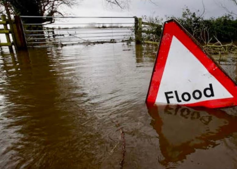
Donegal County Council and the Office of Public Works are progressing the preliminary investigation and design stage of the Glenties Flood Relief Scheme.
A detailed assessment of flood risk in the town based on present day and future scenarios is to be undertaken.
Topographical surveys of watercourses, adjacent lands and property thresholds of residential and commercial premises are now required.
These works will capture the data needed to build an up to date computer model of the Scheme Area. The model will simulate flow scenarios in detail to define flood extent and depth.
Model outputs will identify properties at risk from flooding and what may be needed to protect them.
If measures are required, the options considered will range from nature based catchment solutions that slow the flow, to localised interventions such as embankments or adapting existing defences, or a combination of these. All measures will be subject to a rigorous environmental assessment.
Murphy Geospatial have been appointed to carry out survey works in Glenties with work getting underway on the River Channel Survey between the 5th and 14th January while a land and property Threshold survey is taking place from 18th – 22nd January.
A Chartered Environmental Scientist will accompany the surveyors during river surveys to ensure freshwater pearl mussel populations in the Owenea River are avoided. The map provided indicates the overall survey area and the location of property threshold surveys.
Murphy Geospatial will record levels at the lowest point on the property which may be susceptible to flood risk, the threshold level.
Generally, this is the front door of the property and can be recorded from the public road. However, in some cases, if the lowest point is at the rear of the property, or if there is a shed or secondary building on the property, an additional threshold level may need to be recorded which may not be visible from the public road. In these cases the surveyors may require access to the property to record the level. The survey should take no longer than 15 minutes.
- Tue, 8 Jul 2025
- (+353) 07491 25000
- (+353) 086 60 25000


